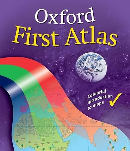
The "Oxford First Atlas" is a bright and informative atlas for all 7-9 year olds. It combines the essential features of colourful, clear mapping with many colour photographs, including aerial photos and satellite imagery, and light and humorous artwork. The atlas makes the link between photograph, artwork, map symbol, and text in a number of expanded picture keys. There is simple, clear topographic mapping of the whole of the British Isles; Environmental maps of each of the seven Continents and the Polar regions; up-to-date World maps using the curriculum preferred projection (Eckert IV); and a child-friendly index, which includes both page numbers and grid references. Topics including planet earth, making a map of the world, countries, rivers, hills and mountains, weather, where people live, how the land is used, and journeys are covered.