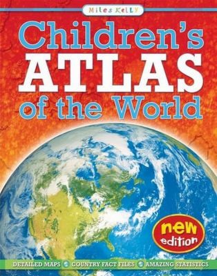
Explore the world with this modern, educational atlas. Each continent and country is illustrated with a full-colour physical map, annotated with capitals, towns, oceans, rivers and mountains. Each continent and country section contains up-to-date statistics, including population and area. To pinpoint each country's position in the world, every page shows the maps in situ on a locator globe. Search and find panels list capital cities and their grid references, providing an interactive tool that will teach readers to locate features on maps.